Log in
All resources
Create a design
721 Free Images of Atlas Maior
joan blaeu
copper engraving print
british library
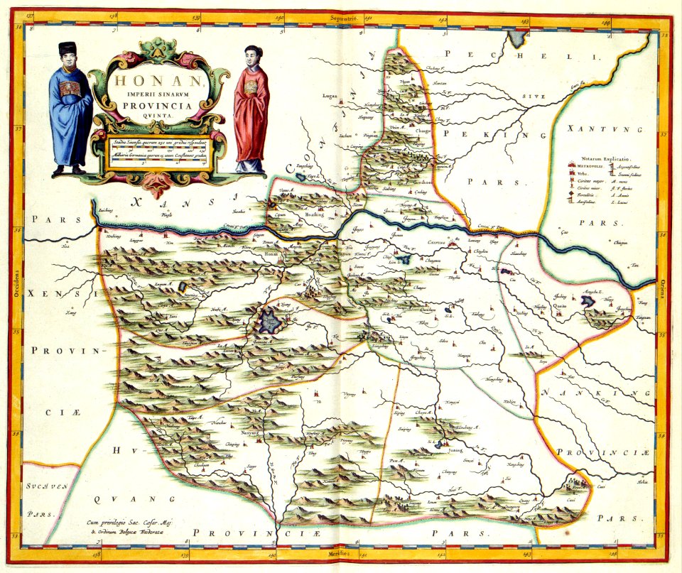
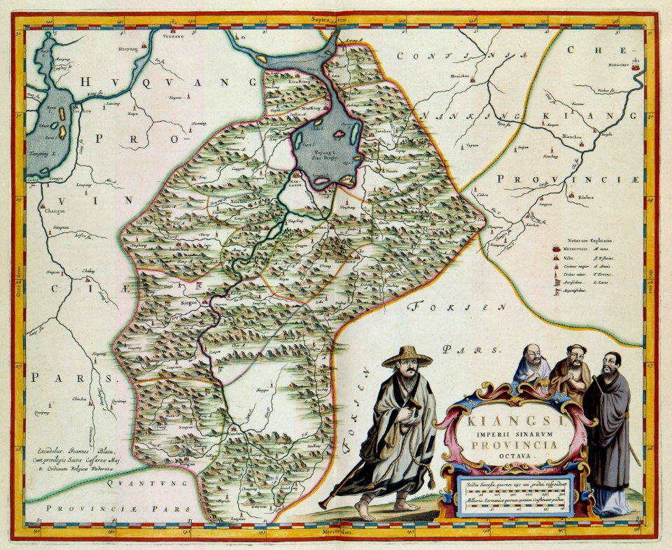
atlas maior, vol 2 (sweden, russia, poland, eastern europe, and greece) - joan blaeu, 1667 - bl 114.h(star).2
1667 maps
novi belgii, atlas maior
koninklijke bibliotheek
atlas maior, vol 3 (germany) - joan blaeu, 1667 - bl 114.h(star).3
maps by willem and johannes blaeu
atlas maior, vol 1 (northern europe, norway, and denmark) - joan blaeu, 1667 - bl 114.h(star).1
atlas maior, vol 2 (sweden, russia, poland, eastern europe, and greece) - joan blaeu, 1667 - bl 114.h(star).2
17th-century maps of the aegean sea
atlas maior, vol 1 (northern europe, norway, and denmark) - joan blaeu, 1667 - bl 114.h(star).1
1667 maps
atlas maior, vol 8 (france ii and switzerland) - joan blaeu, 1667 - bl 114.h(star).8
1667 maps
atlas maior, vol 7 (france i) - joan blaeu, 1667 - bl 114.h(star).7
1667 maps
atlas maior, vol 3 (germany) - joan blaeu, 1667 - bl 114.h(star).3
copper engraving print
atlas maior, vol 3 (germany) - joan blaeu, 1667 - bl 114.h(star).3
nova & accurata ducatuum slesvici et holsatiae tabula
atlas maior, vol 1 (northern europe, norway, and denmark) - joan blaeu, 1667 - bl 114.h(star).1
1667 maps
atlas maior, vol 3 (germany) - joan blaeu, 1667 - bl 114.h(star).3
copper engraving print
atlas maior, vol 1 (northern europe, norway, and denmark) - joan blaeu, 1667 - bl 114.h(star).1
1667 maps
atlas maior, vol 2 (sweden, russia, poland, eastern europe, and greece) - joan blaeu, 1667 - bl 114.h(star).2
17th-century maps of poland
atlas maior, vol 8 (france ii and switzerland) - joan blaeu, 1667 - bl 114.h(star).8
1667 maps
atlas maior, vol 3 (germany) - joan blaeu, 1667 - bl 114.h(star).3
old maps of upper austria
atlas maior, vol 3 (germany) - joan blaeu, 1667 - bl 114.h(star).3
copper engraving print
atlas maior, vol 1 (northern europe, norway, and denmark) - joan blaeu, 1667 - bl 114.h(star).1
1667 maps
atlas maior, vol 3 (germany) - joan blaeu, 1667 - bl 114.h(star).3
copper engraving print
atlas maior, vol 2 (sweden, russia, poland, eastern europe, and greece) - joan blaeu, 1667 - bl 114.h(star).2
copper engraving print
atlas maior, vol 2 (sweden, russia, poland, eastern europe, and greece) - joan blaeu, 1667 - bl 114.h(star).2
1667 maps of russia
atlas maior, vol 4 (netherlands) - joan blaeu, 1667 - bl 114.h(star).4
1667 maps
maps in the library of congress
adriaen van der donck
maps in the library of congress
adriaen van der donck
atlas maior
atlas maior, vol 2 (sweden, russia, poland, eastern europe, and greece) - joan blaeu, 1667 - bl 114.h(star).2
1667 maps of russia
atlas maior, vol 4 (netherlands) - joan blaeu, 1667 - bl 114.h(star).4
1667 maps
atlas maior, vol 2 (sweden, russia, poland, eastern europe, and greece) - joan blaeu, 1667 - bl 114.h(star).2
1667 maps of russia
atlas maior, vol 1 (northern europe, norway, and denmark) - joan blaeu, 1667 - bl 114.h(star).1
1667 maps
atlas maior, vol 2 (sweden, russia, poland, eastern europe, and greece) - joan blaeu, 1667 - bl 114.h(star).2
17th-century maps of the aegean sea
atlas maior, vol 2 (sweden, russia, poland, eastern europe, and greece) - joan blaeu, 1667 - bl 114.h(star).2
maps of slavonia by gerardus mercator
atlas maior, vol 2 (sweden, russia, poland, eastern europe, and greece) - joan blaeu, 1667 - bl 114.h(star).2
copper engraving print
atlas maior, vol 3 (germany) - joan blaeu, 1667 - bl 114.h(star).3
17th-century maps of silesia
atlas maior, vol 2 (sweden, russia, poland, eastern europe, and greece) - joan blaeu, 1667 - bl 114.h(star).2
copper engraving print
atlas maior, vol 1 (northern europe, norway, and denmark) - joan blaeu, 1667 - bl 114.h(star).1
1667 maps
atlas maior, vol 3 (germany) - joan blaeu, 1667 - bl 114.h(star).3
celeberrimi fluvii albis nova delineatio by willem janszoon blaeu
maps by willem and johannes blaeu
maps of the county of nice
atlas maior, vol 2 (sweden, russia, poland, eastern europe, and greece) - joan blaeu, 1667 - bl 114.h(star).2
17th-century maps of scandinavia
17th-century maps of andalusia
old maps of the alboran sea
atlas maior, vol 2 (sweden, russia, poland, eastern europe, and greece) - joan blaeu, 1667 - bl 114.h(star).2
copper engraving print
atlas maior, vol 1 (northern europe, norway, and denmark) - joan blaeu, 1667 - bl 114.h(star).1
1667 maps
atlas maior, vol 2 (sweden, russia, poland, eastern europe, and greece) - joan blaeu, 1667 - bl 114.h(star).2
1667 maps of russia
atlas maior, vol 4 (netherlands) - joan blaeu, 1667 - bl 114.h(star).4
1667 maps
lawrence h. slaughter collection of english maps, charts, globes, books and atlases
maps of nieuw nederland
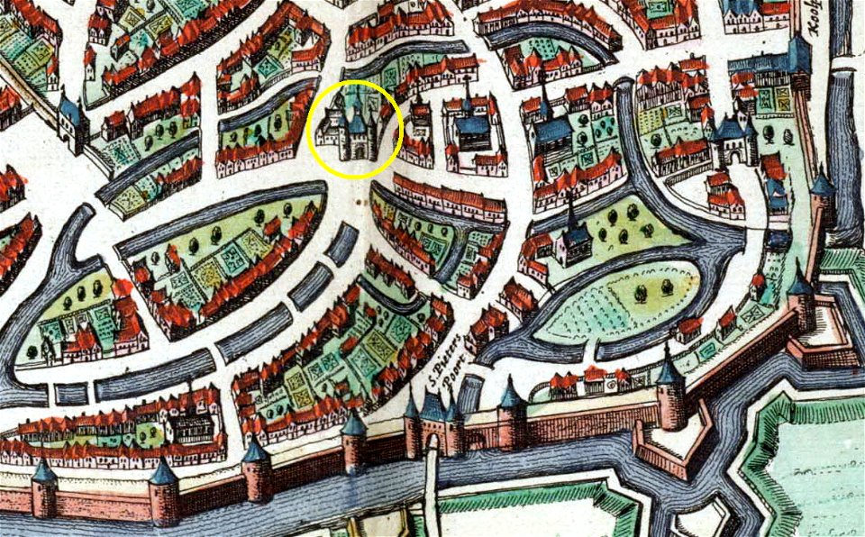
map of maastricht by willem and johannes blaeu (1649)
first medieval city wall of maastricht
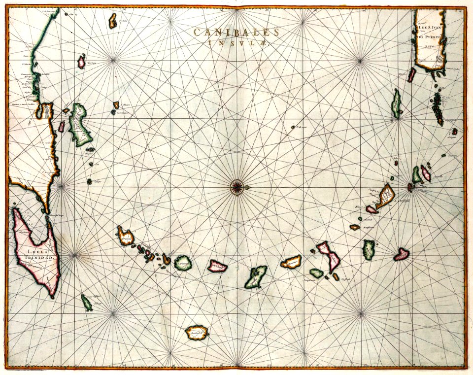
maps of the west-indische compagnie
1800 maps of the united states
atlas maior, vol 1 (northern europe, norway, and denmark) - joan blaeu, 1667 - bl 114.h(star).1
1667 maps
atlas maior, vol 2 (sweden, russia, poland, eastern europe, and greece) - joan blaeu, 1667 - bl 114.h(star).2
copper engraving print
atlas maior, vol 2 (sweden, russia, poland, eastern europe, and greece) - joan blaeu, 1667 - bl 114.h(star).2
copper engraving print
atlas maior, vol 1 (northern europe, norway, and denmark) - joan blaeu, 1667 - bl 114.h(star).1
1667 maps
atlas maior, vol 3 (germany) - joan blaeu, 1667 - bl 114.h(star).3
copper engraving print
atlas van der hagen (volume 4)
atlas van der hagen
map of maastricht by willem and johannes blaeu (1649)
first medieval city wall of maastricht
atlas maior, vol 2 (sweden, russia, poland, eastern europe, and greece) - joan blaeu, 1667 - bl 114.h(star).2
copper engraving print
atlas maior, vol 2 (sweden, russia, poland, eastern europe, and greece) - joan blaeu, 1667 - bl 114.h(star).2
coats of arms of the tsardom of russia
atlas van der hagen (volume 4)
atlas van der hagen
atlas van der hagen (volume 4)
atlas van der hagen
atlas van der hagen (volume 4)
atlas van der hagen
old maps of south holland
atlas maior
1663 maps
baroque
maps in the library of congress
adriaen van der donck
atlas maior
pacific ocean in art
ships on maps
map of maastricht by willem and johannes blaeu (1649)
first medieval city wall of maastricht
map of maastricht by willem and johannes blaeu (1649)
grote gracht (maastricht)
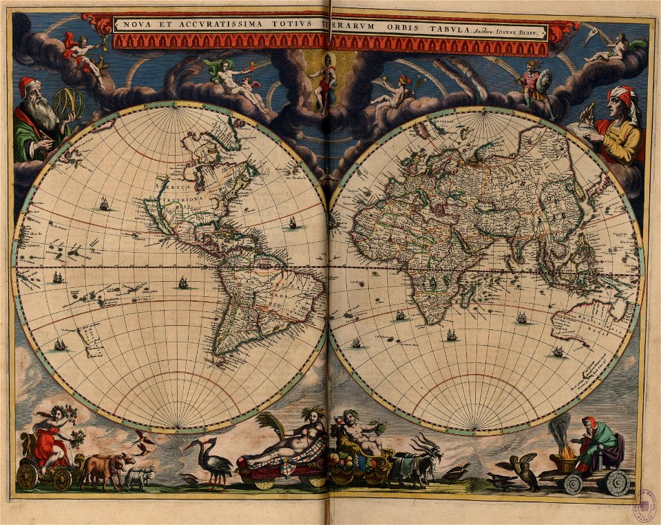
17th-century double hemisphere world maps
nuevo atlas o teatro mundo
atlas van der hagen (volume 4)
atlas van der hagen
coats of arms of austrian silesia
atlas maior
maps of île d'oléron
atlas maior
maps by willem and johannes blaeu
old maps of friesland
maps by willem and johannes blaeu
old maps of friesland
maps by willem and johannes blaeu
old maps of friesland
maps of schleswig-holstein in the atlas maior
maps by johannes mejer
old maps of holland
atlas maior
maps by willem and johannes blaeu
old maps of the republic of genoa
1660s maps of the world
atlas maior
map of maastricht by willem and johannes blaeu (1649)
jekerkwartier (maastricht)
maps by willem and johannes blaeu
stjärneborg
map of maastricht by willem and johannes blaeu (1649)
history of sint-servaasbrug (maastricht)
maps in the library of congress
animals on maps
atlas maior, vol 3 (germany) - joan blaeu, 1667 - bl 114.h(star).3
collections of the nederlands scheepvaartmuseum
old maps of rogaland
history of stavanger
atlas van der hagen (volume 4)
german renaissance
flandria illustrata
zonnebeke
maps of north america, nypl collection
novi belgii, atlas maior
old maps of the county of ravensberg
burg limberg
prints by johannes willemsz. munnickhuysen in the rijksmuseum amsterdam
johannes willemsz. munnickhuysen
colonial history of the united states
old maps of new york (state)
maps in the library of congress
1713 maps
maps made in the 17th century
novi belgii, atlas maior
maps of the arctic ocean
atlas novus (blaeu)
maps in the library of congress
1721 maps
maps of the west-indische compagnie
1662
17th-century maps of moscow
16th-century maps of moscow
lawrence h. slaughter collection of english maps, charts, globes, books and atlases
novi belgii, atlas maior
18th-century maps of the indian ocean
18th-century maps of southeast asia
novi belgii, atlas maior
maps of new england
maps of the west-indische compagnie
1671
history of avignon
atlas van loon
old maps of new england
1684
nypl collection of atlases, gazetteers, guidebooks and other books
nypl lionel pincus and princess firyal map division
maps of the west-indische compagnie
1647
maps in the rijksmuseum amsterdam
maps by willem and johannes blaeu
praefectura paranambucae pars borealis, una cum praefectura de itâmaracâ
1647 maps of brazil
601 - 700 of 721
Next page
/ 8